The combination of IoT sensors and drones has created numerous application scenarios. Various radar devices and gas sensors have well-established drone applications, especially in emergency situations where the convenience of drones allows for more flexible data detection, supporting various operational tasks.
The Spanish firefighting department has experimented with a high-precision ultrasonic wind speed sensor combined with drones to provide wind data to firefighting personnel and equipment during forest fire suppression, enabling more accurate meteorological data and allowing firefighting operations to continue at night.
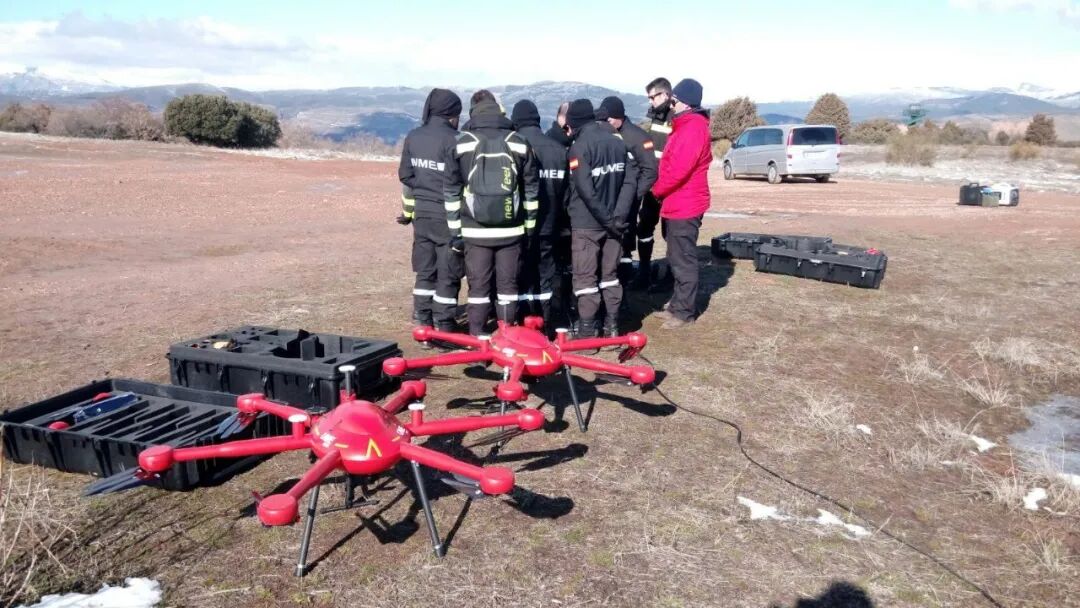
Drones preparing for operations
In previous firefighting actions, meteorological data was obtained from meteorological departments, with the nearest weather monitoring facilities potentially located tens or even hundreds of kilometers away from the fire scene, and only providing data during the day. Once the sun sets, manned aircraft cease operations, leaving firefighters unaware of the wind direction in the fire area.
By utilizing the ultrasonic wind speed sensor provided by FT Company, combined with drones produced by the Spanish company Dronetools SL, it is possible to detect wind speed at the fire scene during nighttime, providing data support for firefighting efforts.
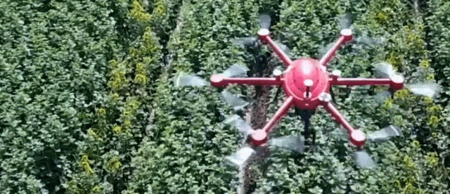
Dronetools SL produced drone
FT Technologies specializes in manufacturing wind speed sensors, particularly for extreme conditions. Their website claims that their wind speed sensors are “the toughest wind speed sensors in the world,” specifically designed to challenge the most extreme application environments.
FT wind speed sensors have proven capable of providing reliable data in extreme environments, with applications ranging from offshore wind farms to power transmission lines in Iceland. They have an IPX6K sealing level, are corrosion-resistant, feature surge protection, and are equipped with powerful heating devices to ensure operation without ice. The wind speed sensors can automatically compensate for changes in air temperature, pressure, and humidity, maintaining data continuity.
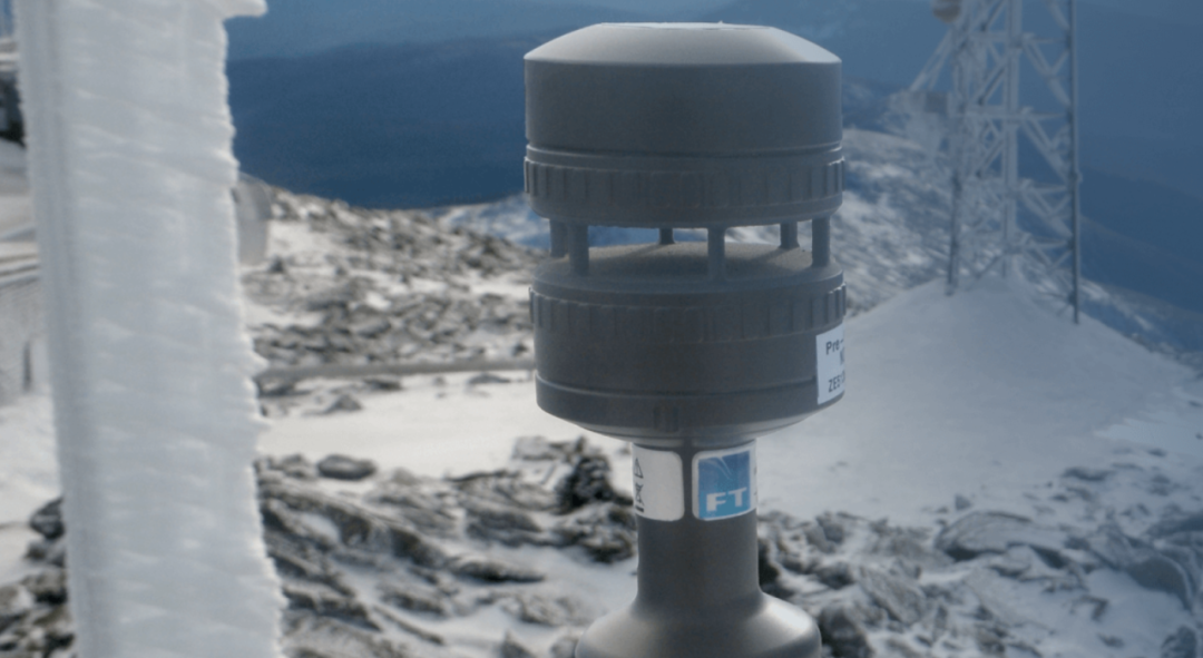
FT wind speed sensor
The drone equipped with the FT wind speed sensor was tested at an altitude of 15 meters, with engineers comparing its readings to data from standard meteorological stations. The results were nearly identical, allowing the system to be approved for nighttime operations during the summer fire season.
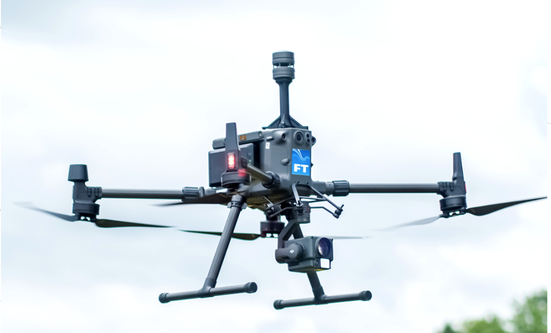
FT wind speed sensor mounted on a DJI drone
In four different wildfire incidents, drones collected wind data from various altitudes, mapping the movement trajectory of gusts across the terrain. This real-time localized information enabled emergency teams to gain a clearer understanding of the fire’s spread and assist in formulating tactical action plans, such as controlling the burn or establishing surrounding defensive structures.
The application scenarios for sensors and drones are increasingly diverse. By leveraging the strengths of each product, we can address practical problems encountered in various fields. This is the essence of technological products, and fully realizing their value is the foundation for maintaining a foothold in the ever-changing market.
Previous Recommendations
Several methods for integrating drone video into command vehicles
Methods and uses for broadband self-organizing network access to command vehicle audio and video command systems
Say goodbye to traditional hardware command vehicles; you need to build a software-defined command vehicle
Three-piece set of flood prevention and rescue communication equipment for smoother video transmission in “three disconnections” scenarios
Octopus Review

Long press to add WeChat | jasonbeen
Looking forward to communicating with you!
Focus on audio and video processing, drones, emergency communications, satellite communications, IoT, artificial intelligence, smart integration, sharing industry-oriented products and solutions.