Mr. Bai Meichu’s investigation in Northern Henan reached its northernmost point in Wu’an County, where both geographical and cultural landscapes underwent significant changes. According to therecords in the gazetteer, Wu’an exhibits a temperament distinctly different from the surrounding plain counties: it is deeply rooted in the mineral resources of the Taihang Mountains while expanding its commercial network across much of China. Here, the resources of the mountains and the pioneering spirit of the people combine to form a region rich in minerals, vibrant in trade, and possessing unique developmental dynamics.
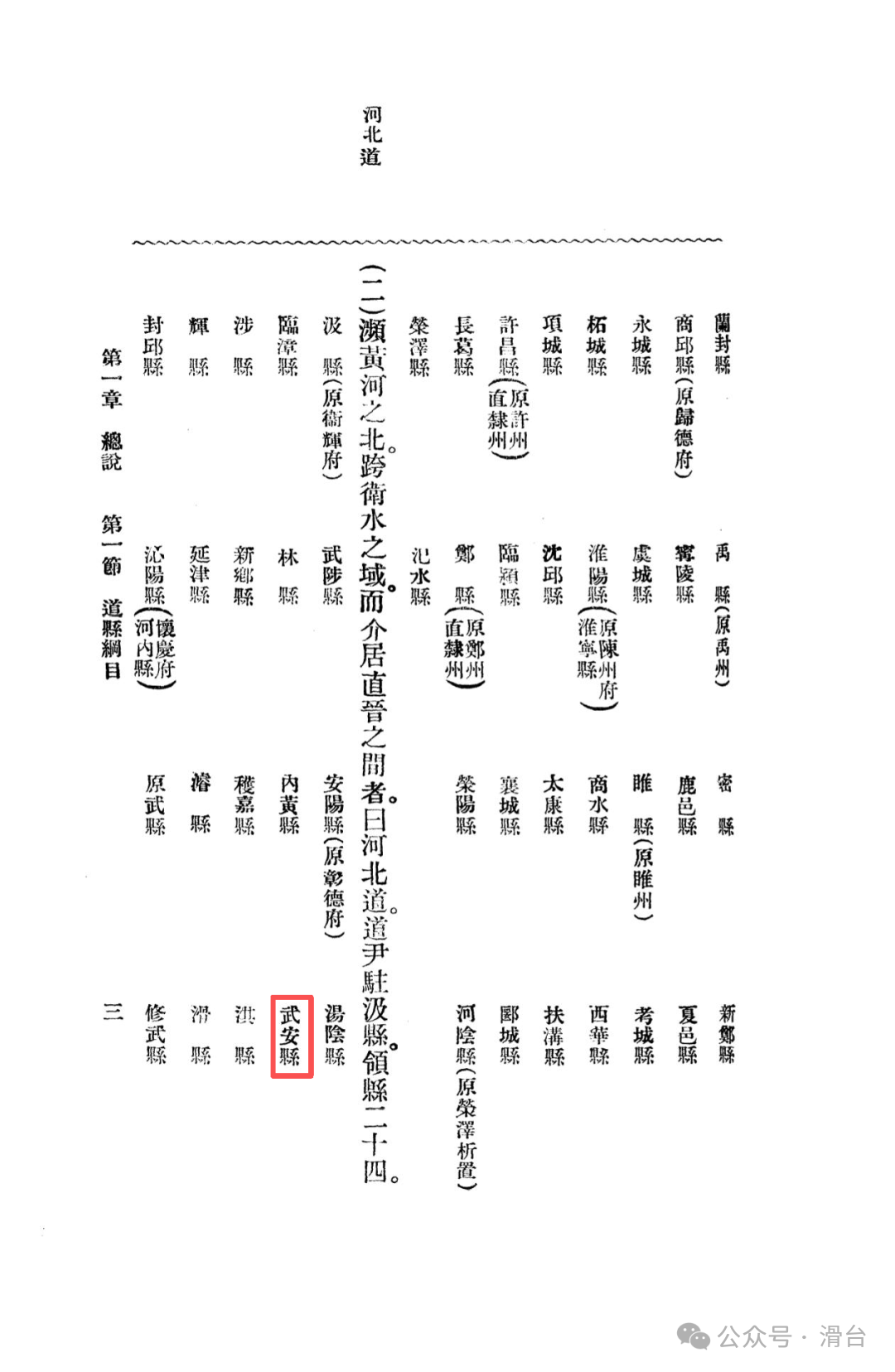
Administrative Evolution: A Millennium of the Northern Fortress
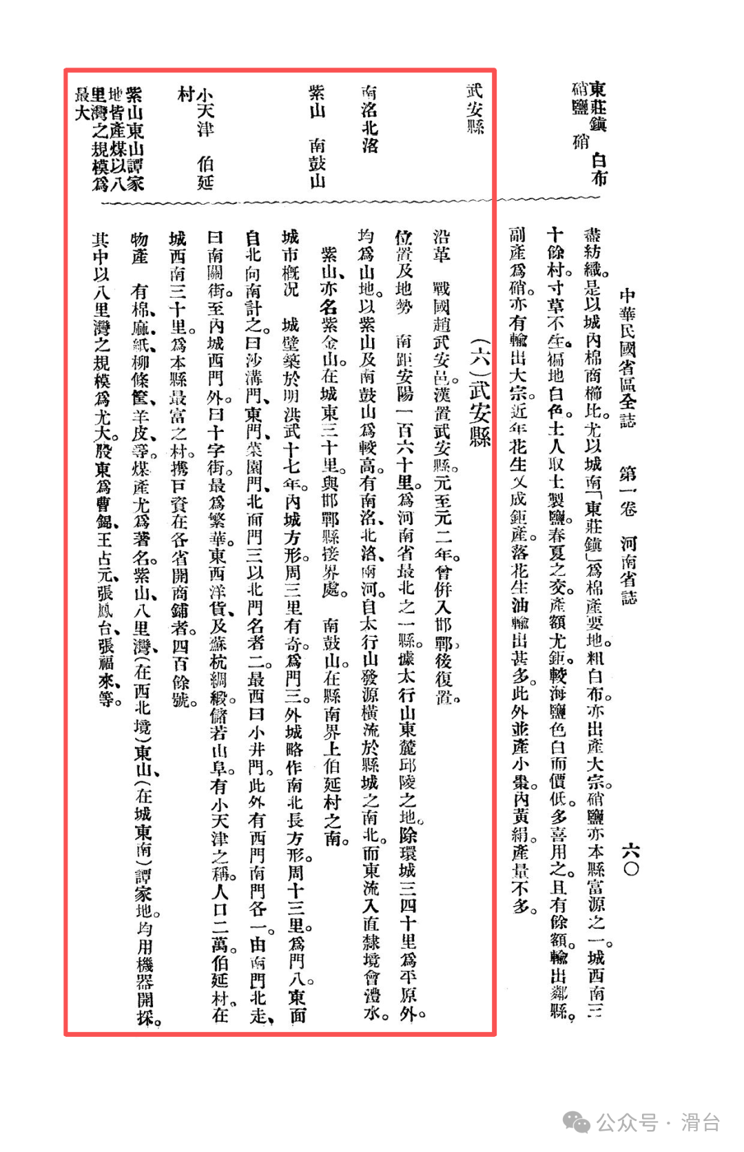
During the Warring States period, Wu’an was known as Wu’an Yi of the Zhao State, and its name reflects its significant military position. The Han Dynasty officially established Wu’an County, marking the beginning of its long history as a county-level administrative region. Although it was briefly merged with Handan in the second year of the Yuan Dynasty (1265), it quickly regained its status, demonstrating the continuity of this area as an independent geographical and cultural unit.
Topography and Rivers: Resource Endowment of Hilly and Mountainous Areas
Wu’an is located at the northernmost point of Northern Henan, 160 miles south of Anyang, “situated in the hilly area at the eastern foot of the Taihang Mountains.” The terrain is predominantly mountainous, with only a plain extending about thirty to forty miles around the county seat. Zishan and Nangu Mountain are the higher peaks within the region, while the Nanming and Beiming Rivers originate from the Taihang Mountains, flowing eastward through the county into Zhili (now Hebei), forming the basic framework of the water system. This mountainous terrain, while limiting agricultural development, also harbors rich mineral resources, providing the foundational conditions for the rise of modern mining and industry.
Urban Layout: The Commercial Atmosphere of “Little Tianjin”
The layout of Wu’an County is grand, divided into inner and outer cities, reflecting its historical significance:
City Defense Layout:The inner city is square, with a perimeter of over three miles; the outer city has a perimeter of thirteen miles, featuring eight gates, making it prominent among the counties in Northern Henan.
Thriving Commerce:The true commercial core is located at the crossroad from Nanguan to the west gate of the inner city, where “goods from the east and west, as well as silk from Suzhou and Hangzhou, are stored like mountains,” with a bustling atmosphere referred to as “Little Tianjin,” and a population of about twenty thousand. Such a commercial scene is rare in the inland county towns of Northern Henan.
Wealthy Villages: Notably, the village of Boyan in the southwest of the city stands out as “the richest village in the county,” where local residents “carry large sums of money to open shops in various provinces, totaling over four hundred.” The strength of a single village has formed such a vast commercial network, showcasing the vibrancy of local capital and the depth of commercial tradition in Wu’an.
Resources and Industry: Pioneers of Mining and Capital Accumulation
The economic structure of Wu’an has transcended traditional agriculture, exhibiting a dual emphasis on mining and commerce:
Significant Mineral Deposits:Coal resources are particularly prominent. The gazetteer records that several coal mines, including Zishan, Baliguan, Dongshan, and Tanjia Di, have adopted machine mining, with Baliguan being the largest. The list of shareholders includes prominent Beiyang military and political figures such as Cao Kun, Wang Zhanyuan, Zhang Fengtai, and Zhang Fulai, reflecting the close ties between Wu’an’s mining industry and high-level political capital at the time, making it one of the representatives of early industrialization in Northern Henan.
Diverse Products:Additionally, cotton, hemp, paper, willow baskets, and sheepskin are also produced, forming a diversified local economic system.
Transportation and Trade: Mountainous Obstacles and Trade Route Expansion
Although Wu’an is “mountainous and difficult to access,” its trade activities have nevertheless transcended geographical limitations:
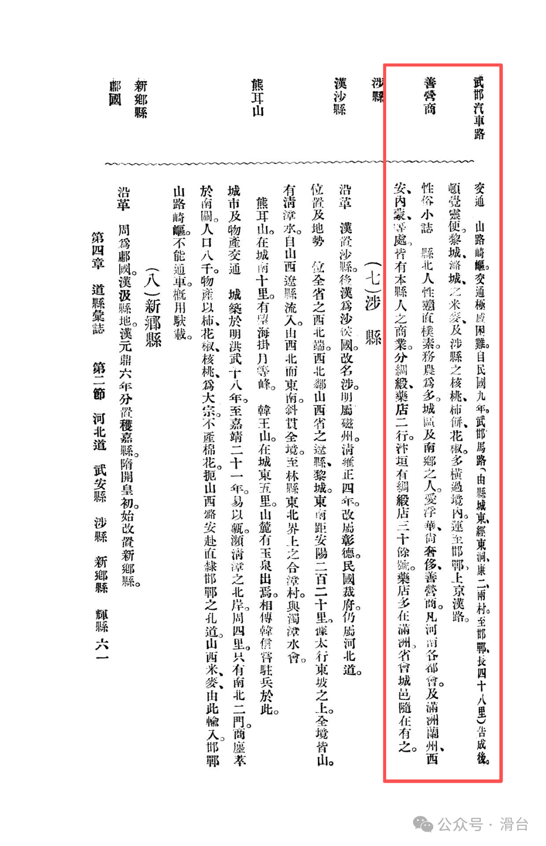
Wuhan-Han Road:Completed in the ninth year of the Republic (1920), the Wuhan-Han Road connects to Handan on the Jinghan Railway, facilitating the transfer of goods from Shanxi such as Licheng, Luxian, and Shexian, making Wu’an a regional land transfer hub.
Merchant Network:Notably, the breadth of its commercial network is remarkable. Wu’an merchants operate silk and pharmacy businesses that span major cities in Henan and extend to Manchuria, Lanzhou, Xi’an, and Inner Mongolia. There are “over thirty silk shops in Bianyuan (Kaifeng),” while pharmacies are mostly found in Manchuria, with “provincial capital cities having them as well.” This has formed a widely spread “Wu’an merchant group” network, whose commercial influence far exceeds administrative boundaries.
Cultural Differences: North-South Divergence within a County
The gazetteer provides a detailed account of the customs in Wu’an: the residents in the northern part of the county are characterized as simple and straightforward, primarily engaged in agriculture; while those in the urban and southern areas tend to be extravagant, valuing luxury, and are adept in commerce. This divergence in customs within a single county explains why the southern village of Boyan has become a cradle of commercial capital and reflects the role of geographical environment in shaping regional culture.
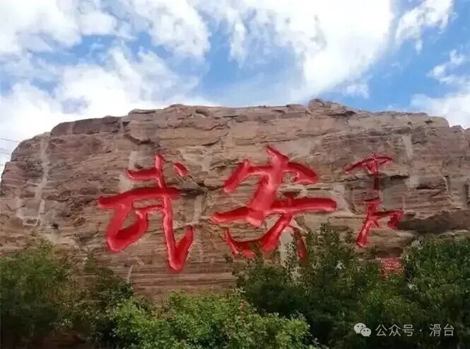
In Mr. Bai Meichu’s observations, Wu’an County has become a unique case that integrates the resilience of the mountains with the dynamism of commerce. It is difficult to categorize simply: it is neither like agricultural counties such as Huaxian and Neihuang, nor like transportation hubs such as Xinxiang and Daokou. If Anyang is the political and industrial core of Northern Henan, and Xinxiang is the transportation hub, then Wu’an, with its resource endowment and outward-oriented commercial strength, has become an important “commercial arm” and “energy base” in Northern Henan. Its existence enriches the economic structure of Northern Henan, showcasing another development path for inland areas in the modernization process.
Previous Readings:
Memories of Northern Henan in the Republic of China: Neihuang County during the Beiyang Period
Memories of Northern Henan in the Republic of China: Lin County during the Beiyang Period
Memories of Northern Henan in the Republic of China: Wuzhi County (Qing Dynasty Hebei Dao stationed here) during the Beiyang Period
Memories of Northern Henan in the Republic of China: Hebei Dao and Jixian (original Weihuifu) during the Beiyang Period
Memories of Northern Henan in the Republic of China: Anyang County and Tangyin Historical Sites during the Beiyang Period
Memories of Northern Henan in the Republic of China: Xinxiang County during the Beiyang Period
Memories of Northern Henan in the Republic of China: Yanjin County during the Beiyang Period
Memories of Northern Henan in the Republic of China: Xun County during the Beiyang Period
Memories of Northern Henan in the Republic of China: Huaxian and Daokou Town during the Beiyang Period
#Hebei Handan #Handan Wu’an #Northern Henan Memories #Hebei Tourism Culture #Wu’an Merchant Group #What You Don’t Know About Hebei