Drawing a Topographic Map of the Southwest Region Using Python

Drawing a Topographic Map of the Southwest Region Using Python

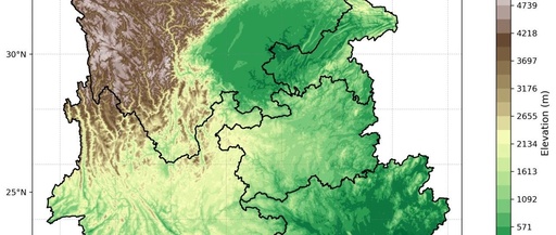
Drawing a Topographic Map of the Southwest Region Using Python Author: The Eighth Galaxy – Xinyue Email: [email protected] Terrain data is pre-selected based on the latitude and longitude range, [Using CDO selection: cdo sellonlatbox,97,112.5,20,30 input.nc xinan.nc] Add the terrain data xinan.nc to the Southwest region map. Code: import pandas as pd import numpy as np … Read more
Exclusive Insights into the Python Geospatial Data Analysis Library GeoPandas: An Essential Tool for Professionals

Exclusive Insights into the Python Geospatial Data Analysis Library GeoPandas: An Essential Tool for Professionals

It was a memorable Friday evening when I attempted to process five million GPS records of taxis in New York City using GeoPandas, and my 16GB RAM MacBook Pro began to roar like a helicopter taking off. This wasn’t my first time encountering issues during geospatial analysis, but watching the Jupyter kernel crash repeatedly made … Read more

Scientific Computing with Python on Raspberry Pi

Scientific Computing with Python on Raspberry Pi

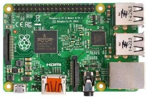
Translation organized by Python Tribe (python.freelycode.com), no reproduction allowed, sharing is welcome. This article is a guide on how to install a Python scientific computing stack suitable for geospatial analysis on Raspberry Pi 3. The whole process takes only a few minutes. The Raspberry Pi 3 was announced two weeks ago with substantial improvements in … Read more