Successfully Established Network Communication with This Module
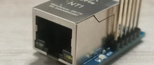
Recently, a network camera was used in a project, which communicates via the CGI interface. However, the MCU used does not have a network port, and replacing it would be quite troublesome, requiring a new board design and a long cycle. I attempted to use a serial-to-network module, initially testing it, but only managed to … Read more