Geospatial Analysis with Python: Topological Calculations (Part 1)
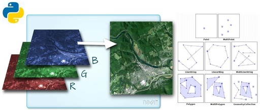
“ Using Shapely and Geopandas for PIP queries and intersection checks.” Determining whether a point is inside a region, or whether a line intersects another line or a polygon, are fundamental topological operations. These operations have a wide range of applications, such as filtering data based on location. In spatial analysis, such spatial queries are … Read more