Due to the impact of this round of continuous heavy rainfall, several rivers in the Yongding River, Chaobai River, Jiu River, and Luan River systems in the Haihe River Basin have experienced the largest floods since measurement data has been available. Among them, the Luan River has recorded the first flood of 2025, which is also the first numbered flood of major rivers in 2025. Behind this flood, there is a special team that is building a “digital defense line” for flood prevention.
At 4:30 AM on July 28, the inflow to the Panjiakou Reservoir on the main stream of the Luan River in Tangshan, Hebei, rose to 2270 cubic meters per second, marking the first flood of the Luan River in 2025. In the duty room of the Information Center of the Ministry of Water Resources, the phone calls reporting flood conditions rang incessantly, while the expert team at the conference table was busy calculating the discharge flow of various reservoirs. Real-time monitoring data was constantly fluctuating, with each set of numbers affecting the nerves of flood prevention.
Yin Zhijie, Chief Hydrologist of the Ministry of Water Resources:Using numerical rainfall forecasting models, multi-source information flood forecasting models, and reservoir optimization scheduling models to make hydrological forecasts, we identify some risk points for the defense departments and remind them to pay early attention.
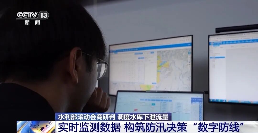
Based on the rainfall situation and the carrying capacity of water conservancy projects, the staff at the Information Center assessed that the Panjiakou Reservoir would reach its maximum inflow at night on the 28th and submitted an analysis report immediately. After urgent discussions among various departments of the Ministry of Water Resources, it was decided to implement a joint dispatch of the Panjiakou and Daheiting reservoirs, maintaining the current discharge flow from the Panjiakou Reservoir while increasing the discharge flow from the Daheiting Reservoir to free up space for flood storage and continuously adjusting the joint dispatch plan dynamically. On the morning of the 29th, the Panjiakou Reservoir increased its discharge flow.
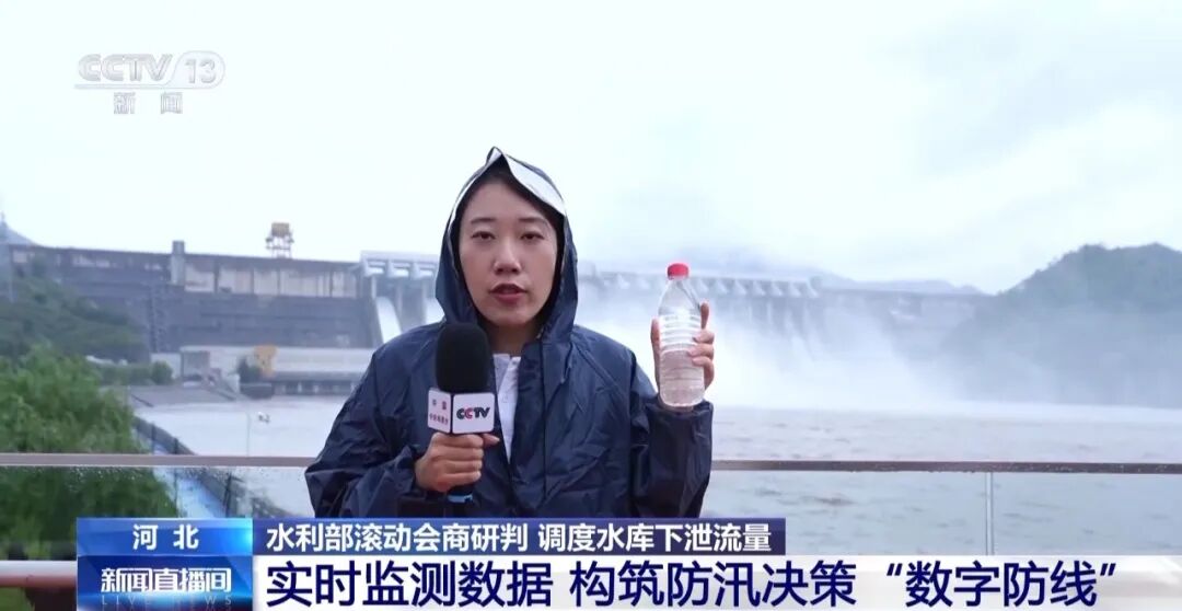
Zhang Qi, CCTV Reporter:I am currently in front of the dam of the Panjiakou Reservoir in Tangshan, Hebei. Based on yesterday’s data, two new sluice gates have been added for discharge today, making it a total of four sluice gates discharging simultaneously. The discharge flow from the Panjiakou Reservoir has now reached 1450 cubic meters per second. To illustrate, this discharge flow is equivalent to 2.9 million bottles of 500ml mineral water per second.
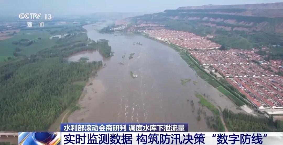
While dispatching the reservoir for flood discharge, another tense simulation was simultaneously underway.
Tao Siming and five colleagues are responsible for hydrological forecasting in the Haihe River Basin. Given the characteristics of rapid short-flow floods in the Haihe River Basin, they analyze the “behavior” of each river in the basin one by one. They must be aware of how a difference in flow, cubic meter capacity, or water level by one unit can impact the situation.

Tao Siming, Forecaster at the Information Center of the Ministry of Water Resources:Every day, we forecast all rivers more than two to three times. When the flood peak occurs at some key upstream stations, our focus is on flood progression.
Based on digital elevation models and high-precision data for levees, roads, and other infrastructure, forecasters use the river network hydrodynamic forecasting system to gradually build a flood progression model. In this model, we can visually see the relevant conditions of the flood passing through farmland, villages, and roads, providing technical support for emergency rescue and flood prevention plan formulation.
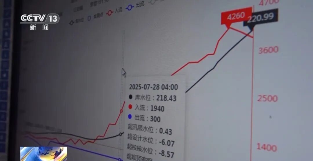
The flood forecasting process on the screen is continuously updated, from water condition forecasting rehearsals to scientific command of emergency responses and precise scheduling of water conservancy projects. This information “dam” built on professionalism, responsibility, and collaboration has solidified the “digital defense line” for flood prevention decision-making.
Currently, the first flood of the Luan River is smoothly advancing downstream.
Source: CCTV News