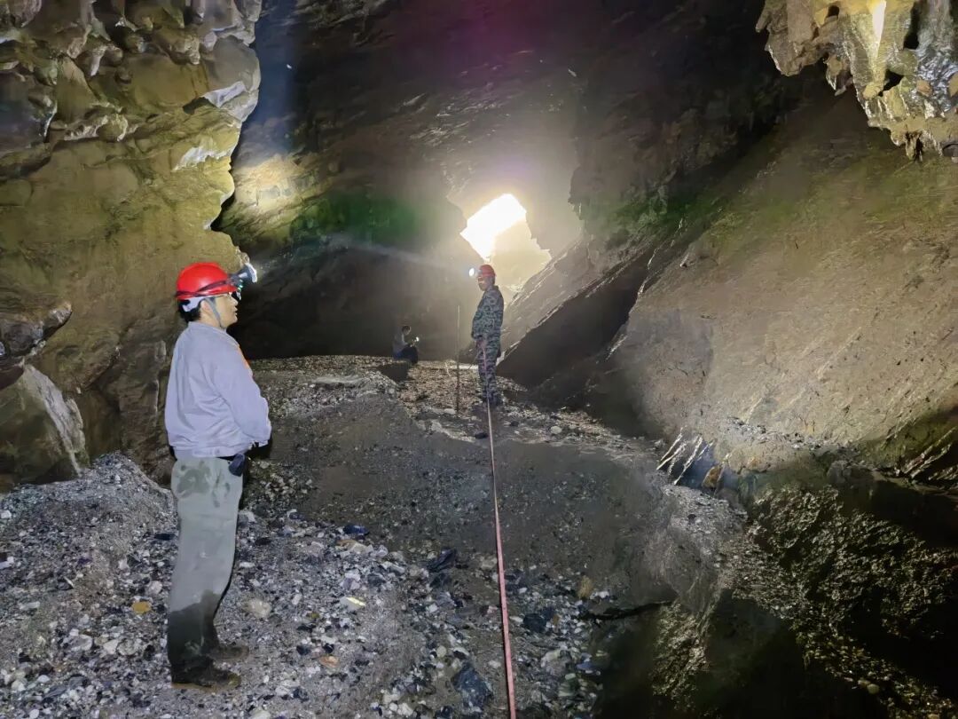
In-cave Measurement
The hydrology team has assisted in the basic investigation of water resources in Guangxi, completing the digital compilation of underground rivers in the region. They have produced a distribution map of underground rivers and karst springs based on the latest 1:500,000 comprehensive hydrological geological map of Guangxi, laying a solid foundation for regional hydrological geological research.
During this compilation work, the hydrology team systematically identified 453 independent underground rivers with a main stream length exceeding 2 kilometers, and 317 karst springs, totaling over 10,000 kilometers of underground river pipelines, primarily distributed in the southwestern, central, northeastern, and northwestern regions of Guangxi. For each underground river and spring, the team meticulously recorded core information such as name, outlet location, outlet direction, pipeline distribution, flow rates at different times, watershed area, underground river scale, characteristics description, and data sources, constructing a comprehensive and accurate foundational database.
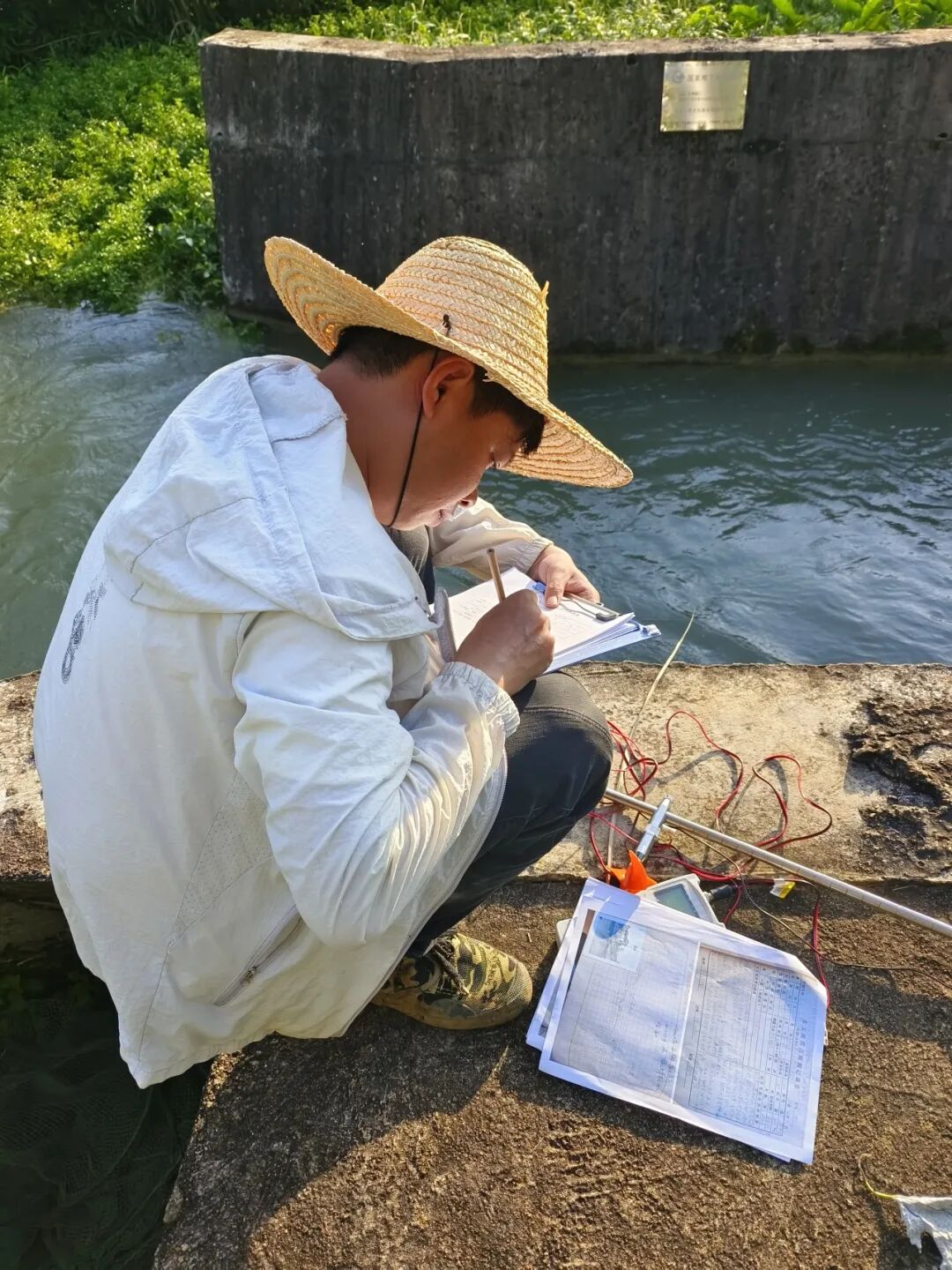
Data Recording
To ensure the authority and completeness of the data, the hydrology team extensively integrated resources from various parties, systematically referencing the achievements of institutions such as the Karst Geology Research Institute of the Chinese Academy of Geological Sciences, the Guangxi Zhuang Autonomous Region Bureau of Geological and Mineral Exploration and Development, and the Guangxi Zhuang Autonomous Region Geological Survey (General) Institute. Through in-depth sorting and verification of approximately 90 sets of results from regional hydrological geological surveys, county (district) hydrological geological investigations, watershed surveys, and map surveys over the past 50 years (from the 1970s to the present), a solid data foundation for the compilation work was established.
Faced with challenges such as inconsistent coordinates, varying projection methods, and chaotic scales in previous data, the team adhered to standardization principles, unifying all data into the 2000 National Geodetic Coordinate System, and completed the digital compilation using relevant software platforms, significantly enhancing the data’s universality and application efficiency.
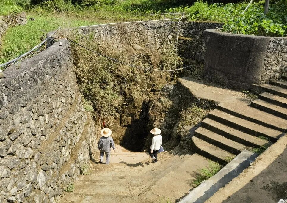
Investigation of Underground River Skylights
This work not only fills the gap in the digital management of regional karst underground rivers but also provides technical support for Guangxi’s future efforts in the protection and utilization of underground rivers, pollution prevention, and disaster prevention related to karst flooding, holding irreplaceable significance for promoting the sustainable development of regional water resources.

Text: He Tianxi
Images: Wu Qingpeng
Zhou Zita
Ye Ting
Editor: Lan Jiayu
Reviewer: Lin Xiufeng
Audit: Luo Jiongcheng